Verbier, CH January 21, 2016
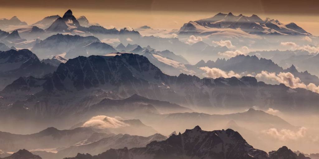
Google Maps has released Street View Imagery of the Mont Blanc, the highest mountain peak in Europe and the surrounding mountain range, the Mont Blanc Massif. The imagery and videos document six world-renowned athletes engaging in the sports they’re famed for in different areas of the Massif, including Faction athlete Candide Thovex shown in a sunset kicker session atop the highest peak in the Alps. Navigate around the 360-degree panoramic images to see athletes skiing, climbing and mountaineering in one of the world’s most breathtaking sites. Discover the iconic locations, the best panoramas, and even to climb up to the summit via the well-known Gouter route.
http://www.google.com/maps/about/behind-the-scenes/streetview/treks/mont-blanc/


